At Long Lake
Gary B. drove in last night and found us this morning as we were getting ready to the trail. I'd gotten everyone going at 0600, but as usual, it was taking the boys a while to get moving. Finally we got the cars packed up with gear we were leaving behind, disposed of all our extra food, and had the packs ready to go. We began hiking up the sandy, but nicely shaded trail at about 0800. Temperatures in the mid-60's I'd guess, with a light breeze.
As has been typical with our hikes over the past two years, John C. wanted to be out front and set the pace. He moved out relatively quickly and we made good progress. I figured that was OK - and that there'd be the inevitable self-correction. The trailhead is at 10,000 ft and although we'd had the overnight to acclimate, I know I was certainly feeling the effects. As we'll see, the "self-correction" was more than I'd expected.
By 1030, John was struggling. We had hit the first significant climb of our hike at about 0900 - about 1,000 feet over two miles. We were nearly through it, but the sun, dry air, and high altitude had gotten to John. He was flushed, hot, and generally not feeling well. We worked on getting some water and food into him, and let him sit for a bit. One issue that would bug me throughout the trip - John had an internal platypus for water and there is no easy way to monitor his intake of water.
The other boys were mostly doing well, although several were feeling the effects of altitude and/or lack of sleep (common for first few days at altitude). Sam (in particular) complained that he hadn't been able to sleep. We ate lunch (trail mix, luna bars, dark chocolate, peanut butter cheese crackers) and soldiered on.
By 11:30 we'd arrived at Cottonwood Lake #1 (11,041 ft). The trees opened up and gave us our first real vista of the surrounding peaks [PHOTO]. John was still struggling, and we divided up much of his equipment, and Nathan and Gary took turns carrying the pack the final mile plus to Long Lake.
 |
| Five-frame mosaic of Cottonwood Lake #1 and surrounding peaks. Mt Langley (14,026 ft) is just left of center. Click here for full-size, zoomable image |
 |
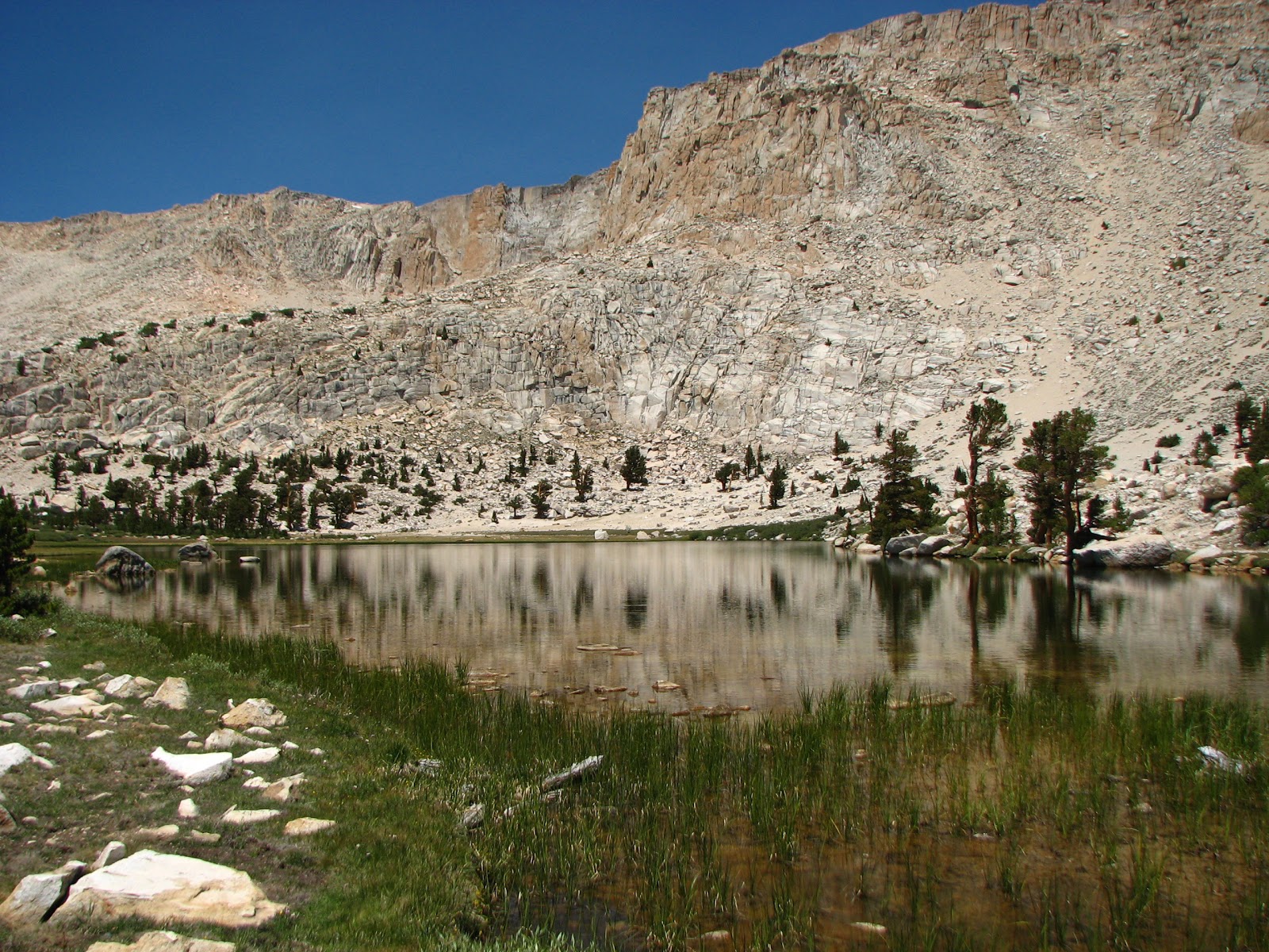
| Level stretch of trail leading toward Long Lake. New Army Pass looms in the distance, with the summit of Cirque Peak hidden behind trees on the left. |
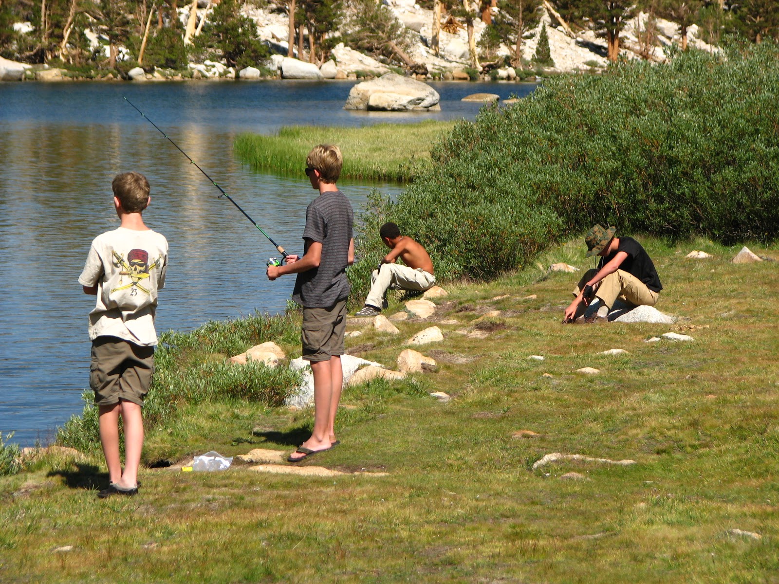
We arrived at Long Lake around 1300 and found a nice, if heavily used campsite at the west end of the lake. After setting up tent and our kitchen/food area, most of the boys went down to the lake to take a dip and fish. We had John lay down in his tent and continued to get him hydrated (including electrolytes).
By mid afternoon, John had recovered sufficiently to take a (short) swim and do some fishing. Everyone was clearly feeling the elevation, and nearly all of us took at least a short nap or a lie-down.
Over at our kitchen area I discovered we had some fearless ground squirrels as neighbors. Managed to shoo them off before they got into our dinner (which was not in the canisters) and hung it up out of their reach. But they were clearly habituated to humans and to our food.
The lake itself is beautiful, nestled at the base of New Army Pass, with a steep escarpment to the north and a view of Cirque Peak to the south. The lake is clear and cold - perfect for cooling off hot feet after the dusty, sandy trail.
Dinner was dehydrated meals (portioned and repackaged) along with hot cocoa and a dessert. Most everyone ate well, although with less relish than usual. John seemed to relapse a bit after dinner. Gage also threw up at one point, although he seemed to bounce back quickly and didn't display other symptoms of altitude sickness.
We kept a close eye on both. I was sufficiently worried to discuss contingency plans with Nathan and Gary that would get John back down to the trailhead. We decided that Plan A was to divide up John's pack and leave him with just the pack, his water, and a few clothing items for the next morning's ascent of New Army Pass. Plan B would have Gary take John along with Gary's son Mitch back to the trailhead, while the rest of us proceeded. Plan C was to take the whole group back.
At this point, it's worth discussing some of the considerations that enter into making decisions in this kind of situation. The first has to do with leadership and experience. As a fairly experienced hiker and backpacker, I needed to draw on past situations and on my formal and informal training (e.g., Red Cross Wilderness First Aid certification, and many hours spent in the mountains of CA and CO). I also needed to be able to recognized my own bias and how vested I was in completing this trip. Remember, I'd gone through all the planning the previous year, only to have the trip fall through. And, just a couple weeks ago, we'd cut short a backpack above Palm Springs (near Mt San Jacinto) because one of the boys had symptoms of altitude sickness).
So, as a type A, goal-oriented person, my tendency is to push through. How then to ensure I'm making a good decision? One of the important things I did was to make sure I wasn't too tired to make good decisions. I'd deliberately minimized my pack load - I didn't carry any of the bear canisters (by far the heaviest items we had) until John faltered. I also had kept to the back of the group and was willing to take it slow when some of the Scouts were pushing up the trail. And I'm familiar with the fatigue and fuzziness of thought that can come with the inevitable hypoxia that comes with going from sea level to 10,000+ feet in a short period of time. So I knew that sitting down and resting and having some uninterrupted time to consider the situation was a necessary part of dealing with the situation.
Finally, I had identified clear, simple options. And once I'd identified those, I was prepared to follow any one of them. If John's (or any other Scout's) condition deteriorated markedly during the night or the next morning as we hiked up the Pass, I had reconciled myself with pulling the trigger on either B or C.
It's this kind of planning that is what I think the Scout motto ("Be Prepared") is really all about.


